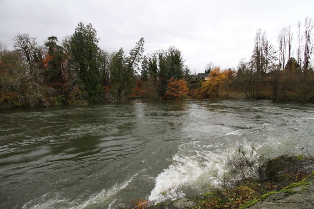
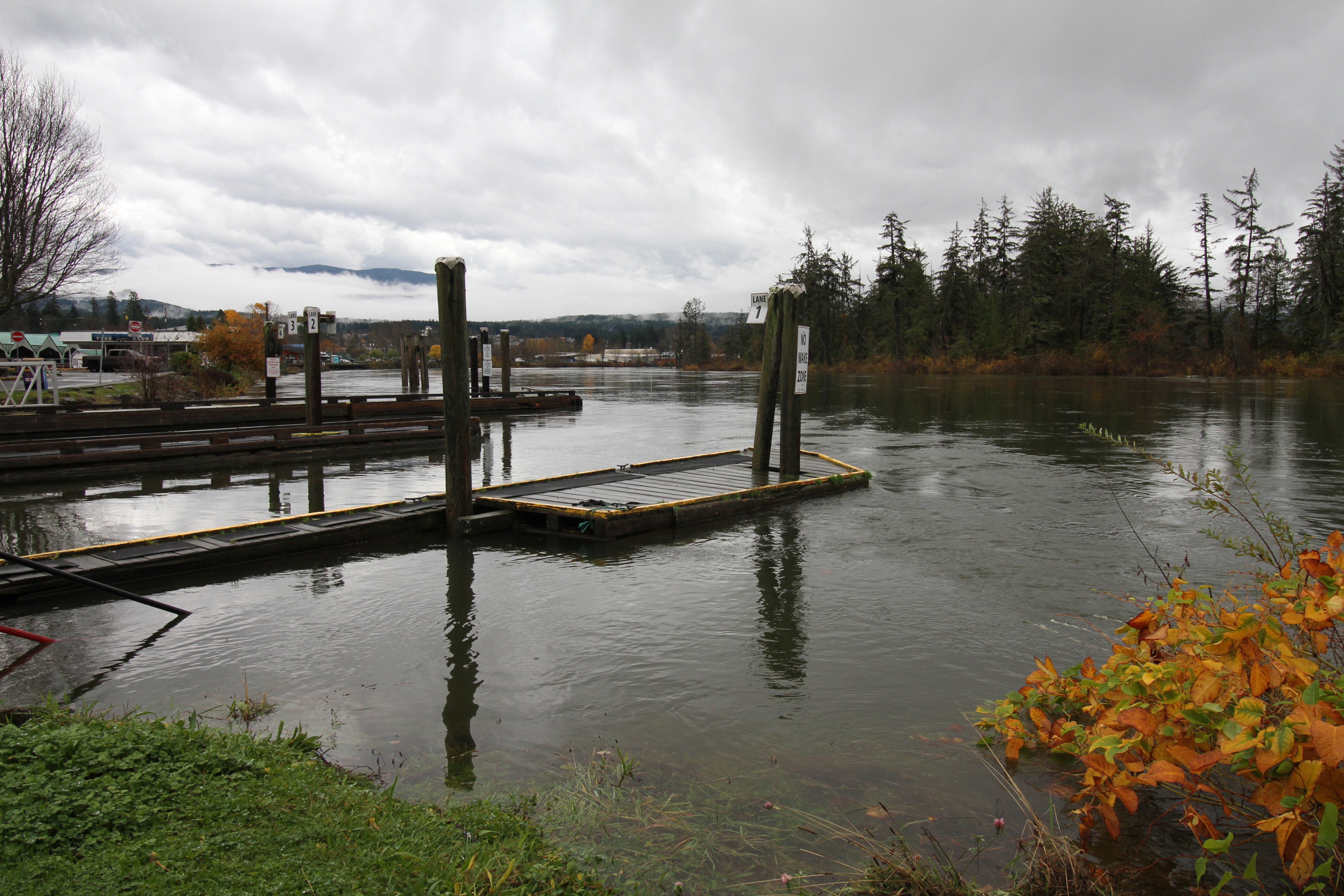
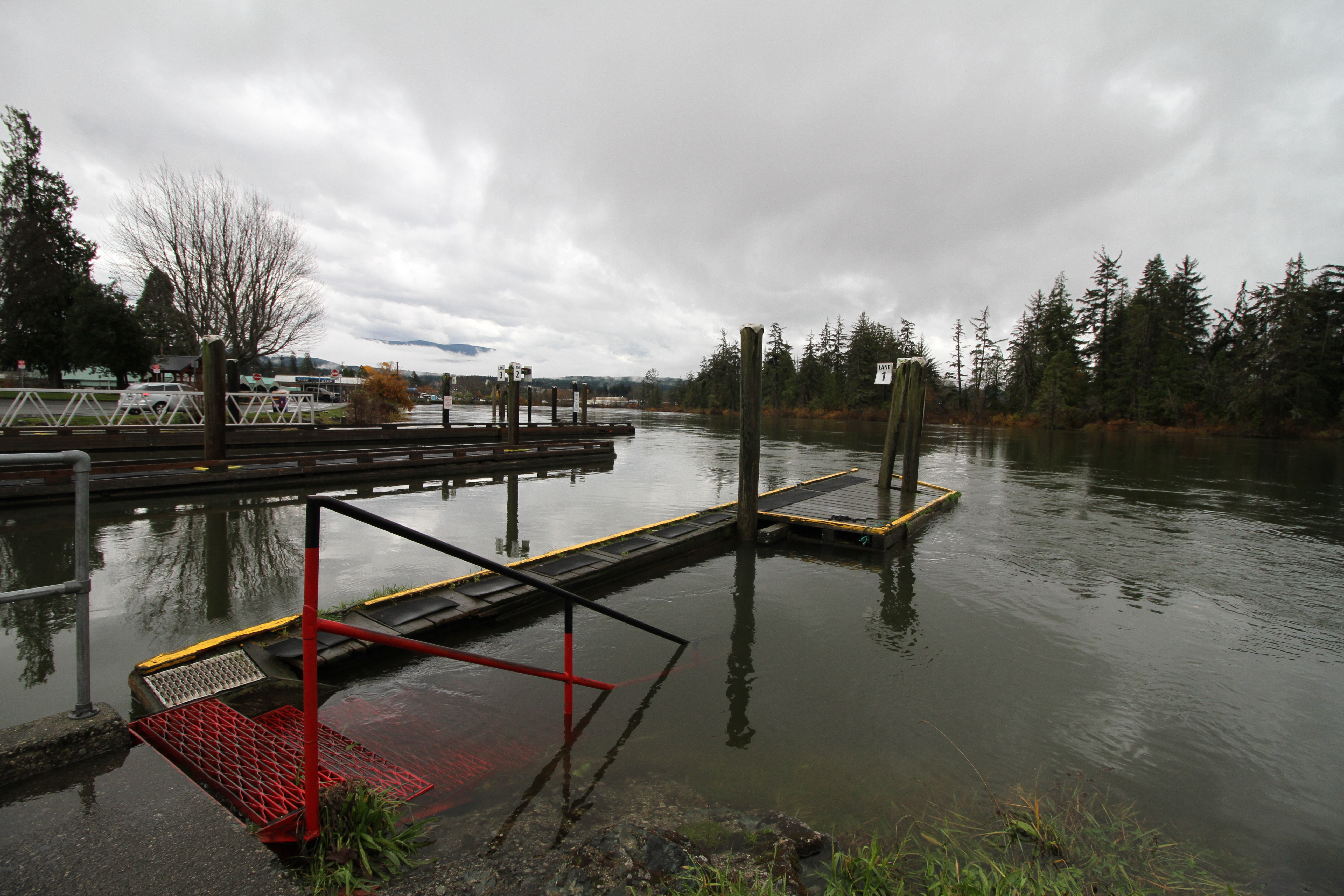
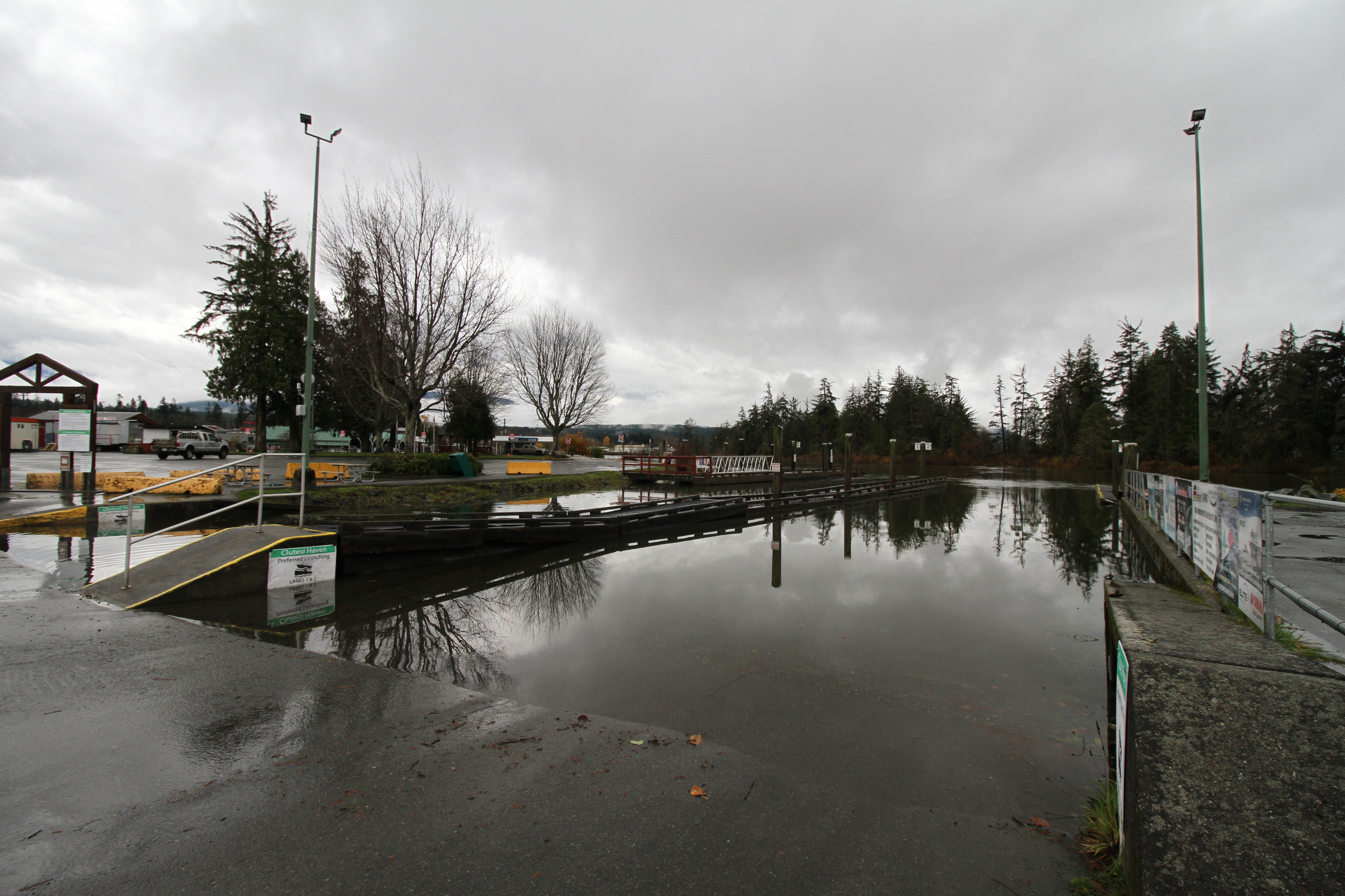
Another storm is expected to hit west Vancouver Island tonight, concluding seven days of floods, power outages and road closures for several areas in the region.
Environment Canada is expecting heavy rain to begin this evening (Nov. 12), continuing through Friday and amounting to as much as 120 millimetres in some locations. Zeballos, Tahsis and Gold River are expected to be hit the hardest. Damaging winds of 80-100 kilometres an hour are also forecast for Thursday night.
“An approaching frontal system will bring strong and gusty southeast winds to the exposed coastal sections of west Vancouver Island,” stated an alert from Environment Canada. “Local utility outages are possible. Disruptions to services and travel are possible. Parks and forests will likely sustain some damage.”
A state of local emergency remains for Zeballos, a measure declared by the Strathcona Regional District since Nov. 6. On that day residents were ordered to evacuate from 20 properties due to flooding and the risk of landslide. On Nov. 8 some residents were permitted to return to their homes, but the evacuation order remains in place for at least 10 properties deemed to be at risk in the small village on the northwest of Vancouver Island.
In 2018 the steep mountain slopes that rise above Zeballos burned in a forest fire, leaving a continued risk of landslide. For this reason and with the recent flooding drivers are ordered to not park on Maquinna Road in the village.
Elsewhere in Nuu-chah-nulth territory, the Tseshaht Emergency Operations Centre asked for volunteers to fill and place sandbags that could hopefully fend off a rising Somass River.
“The next storm to hit might be the biggest yet”, commented Tseshaht member Hugh Braker in a social media post. “The coming storm will be the leftovers of a typhoon.”
South of Port Alberni drivers were urged to not travel on the Bamfield road unless if was “absolutely necessary”, according to a notice from the Huu-ay-aht First Nations.
“Residents, staff and all motorists are urged to exercise extreme caution when travelling along Bamfield Main Road,” read the notice.
Flooding was reported where Bamfield Main meets the Sarita River, while a landslide was seen at the 43-kilometre mark south of Port Alberni, according to the First Nation. Motorists are warned not to drive through flooded sections of the 77-kilometre road.
It was just over two years ago that two Bamfield residents lost their lives when their vehicles were swept away into the Sarita River during a heavy rain storm. On Oct. 19, 2024 Bob Baden and Ken Duncan, who were travelling separately to and from Bamfield, left the road at a flooded section where the Sarita River overtook Bamfield Main.
Residents of the Ditidaht First Nation’s community at Nitinaht Lake were also challenged by the heavy rains this week. A sinkhole has been reported on the road running north from Nitinaht towards Bamfield Main and Port Alberni, while flooding was seen on the road south of the remote community that extends to Lake Cowichan.
“Please avoid unnecessary travel and check for updates before heading out,” stated the Ditidaht First Nation in a notice. “If you encounter a flooded or washed-out section of road, turn around.”