The Coastal Fire Centre reports a shift from warm, dry conditions to cooler, wetter weather over the first week and a half of July. However, previous weather conditions point towards a drier summer season for Vancouver Island.
“Looking at the next seven days from a typical standpoint, we’re not elevating dryness specifically. But we’re also not bringing in much precipitation either. So, we’re essentially just keeping conditions generally steady,” said Ken Dosanjh, meteorologist with Environmental and Climate Change Canada, on July 2.
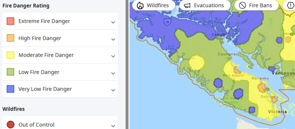
In early July the Fire Danger Rating measure, a system that alerts the public to potential starts and spread of wildfire in a given area, shows much of Vancouver Island at the ‘low’ level, which entails easy fire start and quick spread but with minimal involvement of deeper fuel layers or larger fuels. Port Alberni, Nanaimo and the Victoria area have a ‘moderate’ fire danger rating, with forest fuels drying and an increased risk of surface fire starting. On July 4 the northern part of the Island was rated ‘very low’.
Only a few small sections on the east side of the Island report a ‘high’ rating, where forest fuels are very dry, and fire risk is serious, with new fires starting easily, burning vigorously, and challenging fire suppression efforts.
Many areas within the Coastal Fire Centre (CFC) and on Vancouver Island have been dealing with an extended drought over the last few years. Additionally, the Island experienced an unusually warm and dry spring, raising wildfire risk to levels higher than in the past and indicating potential for increased fire activity into the summer months and the Coastal Fire Centre’s lightning season, which is usually early August.
In July, Environment and Climate Change Canada (ECCC) noted rising temperatures, a typical change for the summer months, as ridges of high pressure begin to sit around the B.C. coast, bringing warmer and drier conditions.
For the 2026 wildfire season, fuel conditions across the province reflect a combination of last summer’s Drought Code (a measure of the moisture content of deep organic forest floor layers), winter precipitation events and recent warm and dry conditions. These factors influence moisture levels across the landscape and shape wildfire potential in B.C. over the coming months, generally indicating a more active wildfire season.
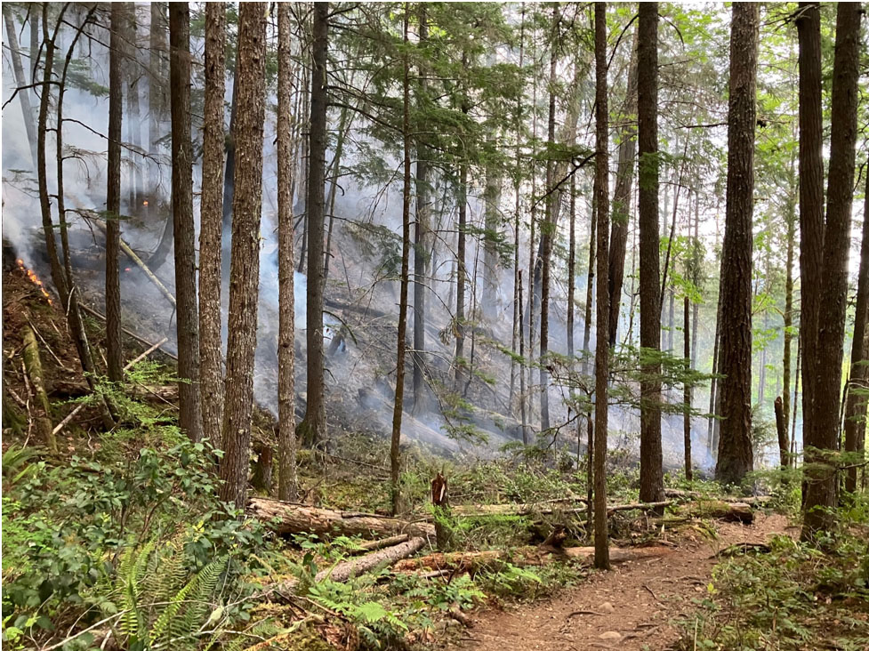
The Alberni area has more interior influence than others on the Island. This means higher temperatures and lower relative humidity, which dry out wildfire fuels faster than in other areas like Tofino. Funnelling winds down the inlet can impact fire behaviour, as seen during the Mt. Underwood fire and previous wildfires near Port Alberni.
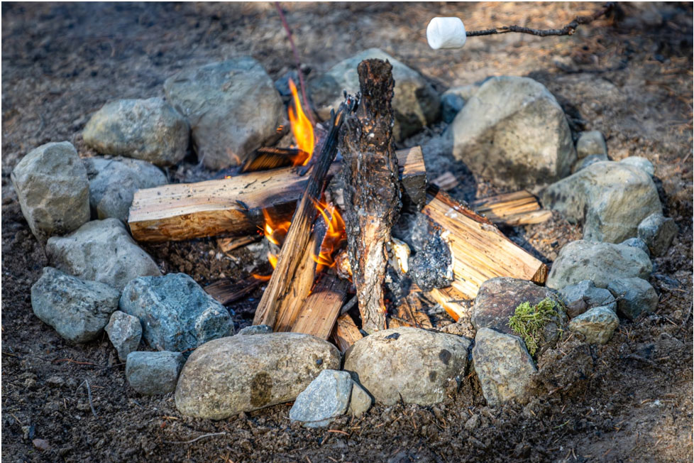
Additionally, the Alberni area has a higher number of recorded human-caused wildfires, which can be prevented through responsible recreation practices and the safe use of open fires.
The Coastal Fire Centre recorded 93 fires from April 1st to June 25, a significant increase from the 45 fires recorded last year. So far, 173 hectares have burned, with eight fires caused by natural causes and 80 by human causes.
Vancouver Island and the Lower Mainland received 40 to 60 percent of normal monthly precipitation in May. The ECCC noted less than 20 millimetres of precipitation in the last two months, a drastic reduction from the expected 70 millimetres in past climatological normals.
“We’re seeing below-normal precipitation occurring and … slightly warmer-than-normal conditions. So that’s going to continue to elevate and increase drying at that point,” said Dosanjh.
Rain and relative humidity can lower the fire danger rating and help rehydrate lighter forest fuels such as grasses, needles, and brush. However, the impact varies depending on the amount and duration of the rain, and whether it’s enough to dampen the deeper “duff” layers and medium-sized woody materials like logs.
While the past couple of months didn’t receive as much precipitation, there was rainfall on June 25 and 26, with Port Hardy seeing over 90 millimetres in two days. Yet the recent rainfall may not be enough to compensate for the lack of precipitation in the spring months.
Warm and dry spring conditions resulted in early snowmelt and onset of drought conditions across the south, mostly in areas with already low snowpack levels. This occurred in the Okanagan, Nicola, Kettle and East Vancouver Island basins.
Back during the winter months, Vancouver Island had a few atmospheric rivers in mid-December, at the end of January, and in early February. Atmospheric rivers are streams of moisture that crash into our coast and hit the Island. Originating in the subtropics, they bring rising freezing levels and moderate to heavy rain, resulting in precipitation over snow at higher elevations that leads to lower snowpacks earlier than they should be.
The entire province experienced above-normal temperatures and drier-than-normal conditions in January and February of 2026. For several interior regions, it was the warmest winter recorded in history since the late 1800s. The fluctuating weekly temperatures, with extended heatwaves followed by lower temperatures, caused issues for agricultural growth and melted a significant portion of the snowpack needed to reduce wildfire risk.
The latest survey from the River Forecast Centre released on June 1 shows B.C.’s overall snowpack at 64 per cent normal, a significant increase compared to the June 2025 snowpack survey at 44 per cent.
However, the combination of low snowpack, early snowmelt and warm seasonal weather forecast elevates drought hazards for the upcoming summer.
The Ministry of Water, Land and Resource Stewardship is monitoring drought and water scarcity conditions, supporting local governments and First Nations communities on response planning, investing in long-term water security and a $100-million Watershed Security Fund.
“It's not even summer yet, but many watersheds are already under strain, signalling rising water scarcity risks,” said Randene Neill, Minister of Water, Land and Resource Stewardship in early June. “We have been working with First Nations, local governments, industry and farmers and using tools like our Drought Information Portal and a pilot system to better assess watershed-level conditions. When we all use water more efficiently and prepare early, we can reduce impacts and protect water for communities.”
Since 2017, the province has provided more than $580 million for about 2,940 disaster-preparedness and mitigation projects under the administration of the EMCR, along with supporting solutions informed by on-the-ground knowledge from local partners and boosting water storage with farmers.
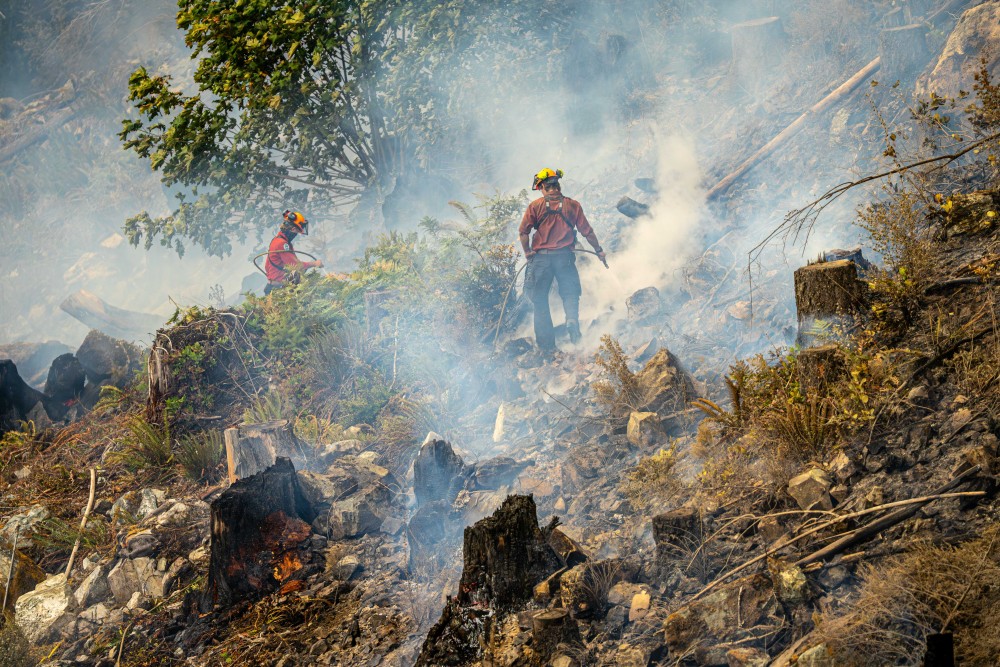
The B.C. Wildfire Service (BCWS) is taking preventive measures, including the expansion of services on the ground, firefighting and mechanical equipment (pumps, saws and safety gear), additional camp infrastructure to help firefighters for easier deployment, multi-year investments in tools and technologies like wildfire camera networks and an advanced fire-behaviour prediction system.
The province encourages citizens to create or update their emergency plan, build grab-and-go bags or create an Emergency Support Services (ESS) profile in the BC Services Card app to check for insurance coverage.
Visitors to British Columbia are encouraged to have an emergency plan, understand the potential hazards in the areas they travel through, and consider travel insurance options.
BC Wildfire Service urges members of the public to download the BCWS mobile app for consistent wildfire information. Please report wildfire by calling *5555 from a cellphone