
Looking out from her living room window towards the Hesquiaht harbour, Dianne Ignace marveled at a bright rainbow that emerged in the sky. Within minutes, it was swallowed by thick, gray clouds. Then, came the hail.
“Today is one of those days where every 15 minutes the weather has been changing,” she said. “That's the phenomenon that I've been noticing – the speed of change around this weather is way too fast. It doesn't give me any time to plan.”
Ignace has been living on the remote peninsula on Vancouver Island’s west coast since 1975. She is no stranger to battling out strong rainstorms, but as of late, they have become increasingly unpredictable.
“The winds are changing faster,” she said. “You can get different [wind] direction on the water five or six times in one day.”
This past fall was the wettest Ignace has seen in the last 10 years. While nothing was damaged, she said the tides that coincide with the rainstorms have been pulling the gravel off the beach in front of her house over the last three years.
“You can see the bedrock all along the coast,” she said. “It’s changing the topography in the bay here.”
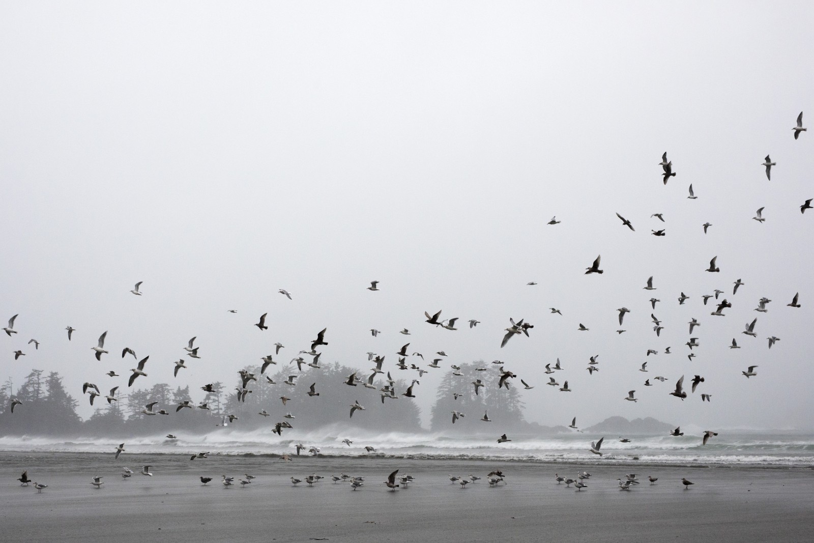
The record-breaking rainfall that hit British Columbia this fall could be the new normal, warns Environment and Climate Change Canada (ECCC).
“It's very consistent with what climate projections describe [of] the reality coming for us,” said Armel Castellan, ECCC warning preparedness meteorologist. “This was an example of what we can expect more of.”
The entire season, from September to the end of November, was the wettest on record for both Nanaimo and Gonzales, Victoria’s oldest weather station that has data stretching back to 1899. Nanaimo experienced rainfalls 181.3 per cent above normal, and Victoria saw rain 221.5 per cent above normal.
“That is very absurd to me,” said Castellan.
Historically, these types of events would only occur once in every 100 years, but Castellan said that number is projected to be reduced to one in every 50 or 25 years going forward.
“The deck is stacked increasingly over the coming years,” he said.
Tofino typically gets 7.4 days of rain that reaches above 25 millimetres throughout November. But this November, there were 14 days of rain that reached above 25 millimetres, resulting in rainfall 175.6 per cent above normal, said Castellan.
“These [floods] have big consequences, not just on the Lower Mainland and the diking system around Sumas Prairie, but anywhere on the south coast with any infrastructure and population density whatsoever,” said Castellan.
The Ministry of Finance recently announced that while B.C.’s economic growth is expected to outpace Canada’s in 2021 and 2022, it is yet-to-be determined how recent flooding and extreme weather may impact future economic forecasts.
Abbotsford Mayor Henry Braun said the cost of flooding damage could be in the billions during a media briefing on Nov. 26.
For some, recovery is going to take years, he said. For others, “they may never recover.”
Global temperatures have risen by 1.2 degrees since pre-industrial levels, and Canada is warming twice as fast as the global average, said Castellan.
As temperatures rise, the air has a greater capacity to hold more water vapour. One of the ways the atmosphere balances itself out is for the moist, subtropical air to travel north through a narrow corridor, otherwise known as an atmospheric river.
Although the term “atmospheric river” only came to be in the late-90s, Castellan said they’ve been around since time immemorial and have been previously referred to as “moist conveyor belts.”
With more water vapour in the air, Castellan said experts are projecting atmospheric rivers to double in strength in coming years, and decades.
This has prompted Environment Canada to collaborate with a cohort of experts in developing an atmospheric river rating system, so they can be categorized, much like hurricanes and tornadoes.
That way, decision makers, emergency management and the general public will be better prepared for what could be coming their way, said Castellan.
“Not only do we need to adapt to these new climate projections that are already happening around the planet, but we also need to mitigate against them,” he said. “The climate emergency that we're in, and will be in for decades to come, is a whole order of magnitude stronger of an impact on our society [than even the COVID-19 pandemic].”
While Castellan said the pandemic is a “very scary,” “big event” that we don’t have much control over and has “affected our society very deeply,” climate events are likely to “become stronger, longer lasting, [and] more frequent” in the coming years.
The unpredictable weather patterns mean that Ignace is not able to leave her house as often.
“When we want to go to town, we’re getting into wishy-washy water,” she said. “The waves are coming at you from every direction … it’s making travel a lot harder.”
Ignace said that within the past two years, she has seen the weather events around the Hesquiaht peninsula grow stronger.
“Last year, we didn’t go out for Christmas, and we were really glad we didn’t because we wouldn’t have gotten home until the end of January,” she said. “This year, we want to go out for Christmas, but I’m scared to.”