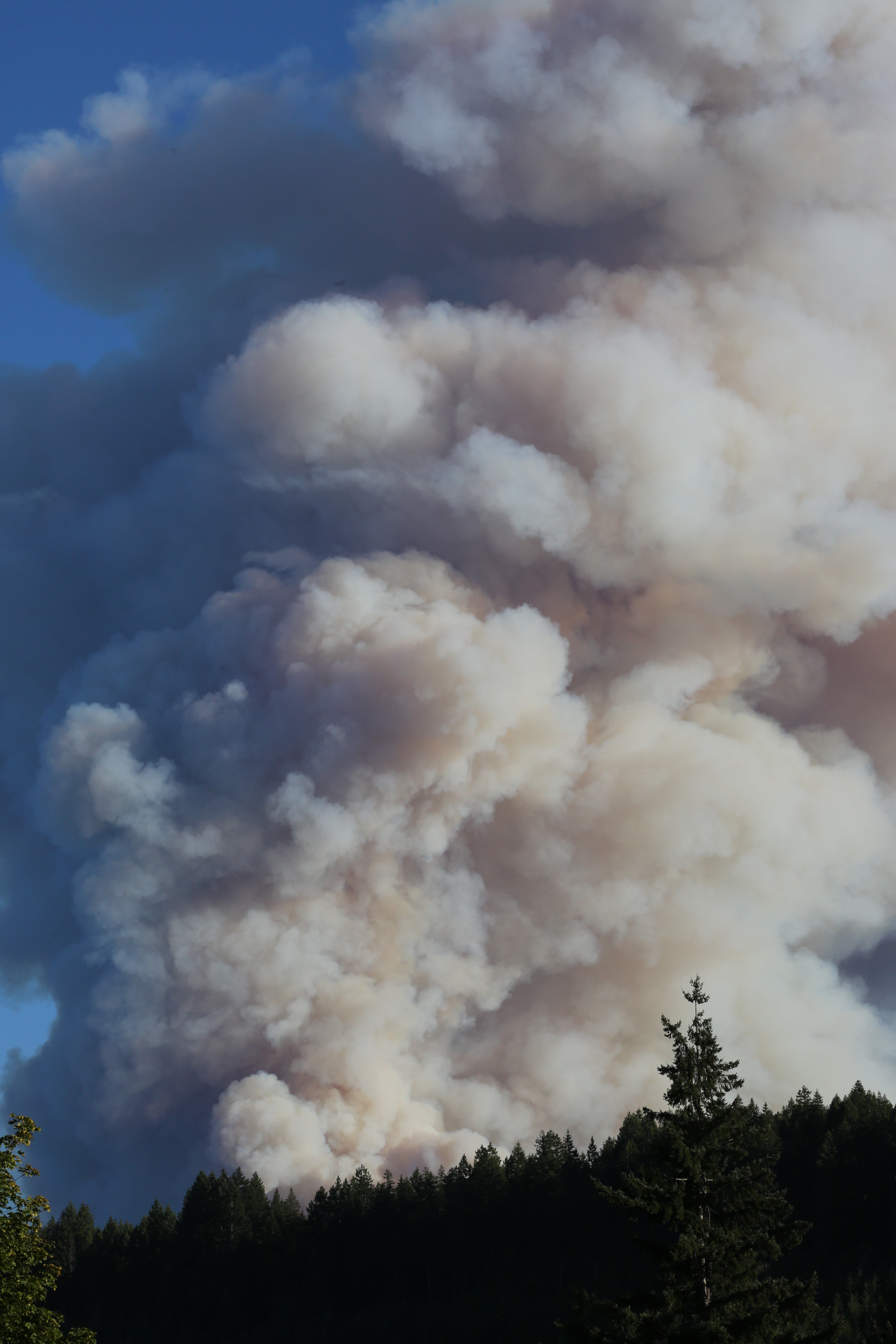
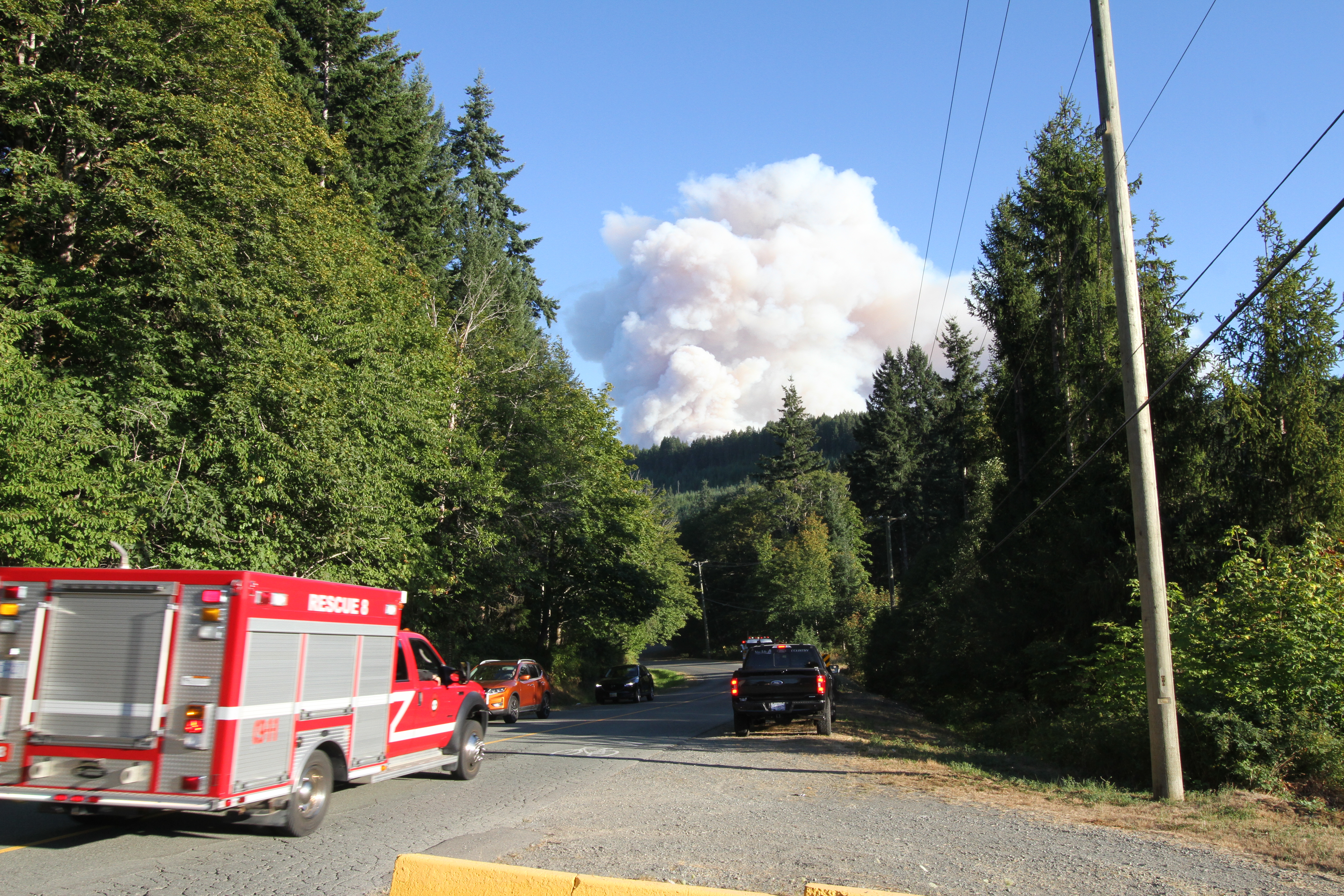
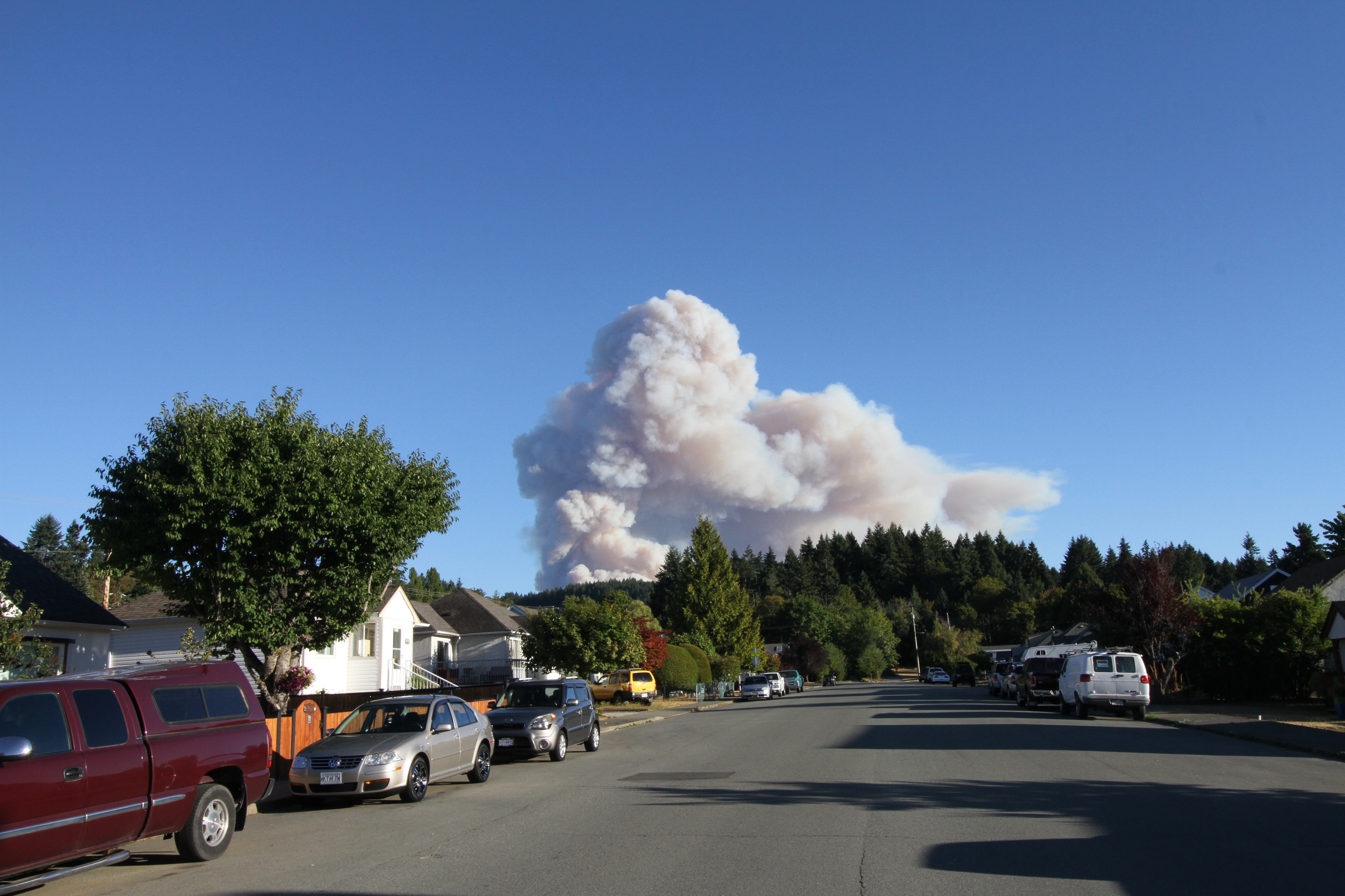
The plume of smoke that towered over Port Alberni in August 2025 has long disappeared, but an undercurrent of anxiety remains among residents as the region braces for another wildfire season.
As of mid-May, a dry summer is predicted in the area. Environment Canada is forecasting warmer than average temperatures on Vancouver Island and the south B.C. coast for June and July, one of several factors that can lead to wildfires in the summer. Vancouver Island’s snowpack is also at just 11 per cent of what is considered a normal amount in the region’s mountains, due in part to rapid snow melt during a heat wave over the first week of May. The snowpack acts as a storage of water for streams and the surrounding forests during summer months when precipitation is usually rare, and Vancouver Island’s meagre volume this spring brings a higher risk of drought during the oncoming warmer months.
There have already been a handful of small forest fires in the Alberni Valley this spring, but these incidents were soon extinguished. What remains on many people’s minds is the Mount Underwood blaze, Vancouver Island’s fastest growing wildfire in recent memory.
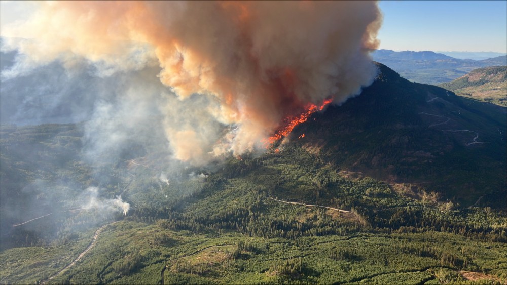
The forest fire erupted Aug. 11, after days of temperatures in the Port Alberni area reached the mid 30s. The region hadn’t seen any rain for a month, with just 1.7 millimetres of precipitation in July. In combination with a warm air mass coming in from the B.C. mainland, these conditions enabled the wildfire to rapidly ascend the dry slope above the Alberni Inlet.
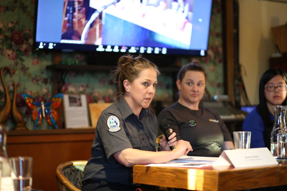
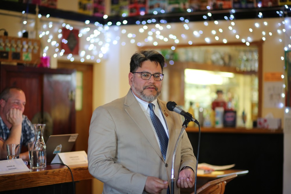
Brandi Burns, an officer with the B.C. Wildfire Service, reflected on the first hours of Mountain Underwood during a forest fire forum hosted by the Alberni Valley Transition Town Society on May 20.
“We were seeing very unexpected and difficult to predict fire behaviour,” said Burns. “By 7 o’clock that evening the fire was around 50 hectares, by 8 it was 100 hectares, at 9 o’clock it was 150 hectares, and by 10 p.m. that evening it was 630 hectares.”
The wildfire service has since estimated that Mount Underwood moved at 14 metres per minute in its first hours, engulfing a combination of second-growth trees that were planted in clearcut areas and old growth. The fire spread on forest land which mainly consists of cedar, fir and hemlock trees.
“A lot of fire growth that you see on the island, in the Coastal Fire Centre, is very slope, wind-alignment driven, and we did have those conditions present that day,” said Burns, adding that even the presence of slash piles, which are left-over pieces of timber not collected from logging activity, contributed to the rapid wildfire growth. “It was a combination of extreme drought conditions, dry weather systems, steep slopes and fuel loading from the slash.”
Mushroom cloud hovers over small city
By early evening on that day residents of Port Alberni began to notice something unusual in the sky. For those in the small Vancouver Island city, forest fires have become a regular part of the region’s dry, hot summers, and for the previous week and a half a wildfire had already been burning up the slope by Cameron Lake, on the other side of Port Alberni. But the mushroom cloud that was quickly filling the sky south of town on Aug. 11 was different.
Karen Freethy is the Protective Services manager for the Alberni-Clayoquot Regional District. Shortly after her neighbour alerted her of the growing plume Freethy got in her car and headed to work, initiating the Emergency Operations Centre. Fifty-one staff from the City of Port Alberni and the ACRD formed the EOC, which declared a state of local emergency.
“We were really looking at the wildfire threat that it was posing, and coming closer to Port Alberni,” said Freethy during the recent wildfire forum.
As Mount Underwood burned overhead, the nearby China Creek Campground and Marina were immediately evacuated. Evacuation alerts followed for other nearby areas, including the Tseshaht First Nation reserve at Polly’s Point and the Cameron Heights neighbourhood at the south end of Port Alberni, but these did not lead to any orders for people in the city to leave their homes.
“The areas that are put on alert, it’s based on where we think the fire might go to,” said Burns.
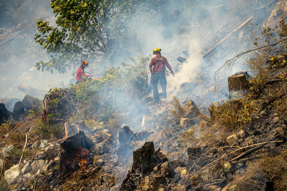
By Aug. 14 rain started to fall on the blaze, continuing through the next day and slowing it down. This enabled personnel to better access the wildfire.
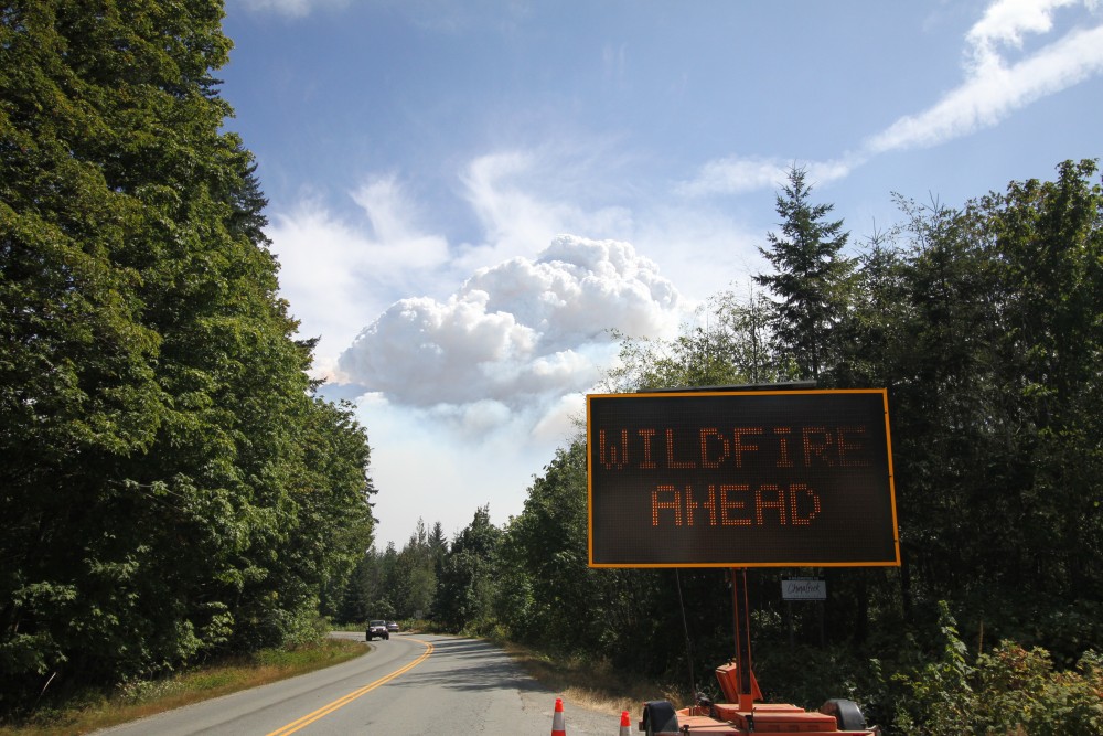
Meanwhile all road access south of Port Alberni was shut off, as was power to the communities of Bamfield, the Huu-ay-aht village of Anacla and the Ditidaht First Nation reserve at Nitinaht Lake due to the fire’s destruction of 56 power poles.
“The power was out for nigh on two weeks, which doesn’t sound like a lot, until you run out of laundry,” said Huu-ay-aht Chief Councillor John Jack. “When a disaster like this happens, it really resets the context in how we relate to one another.”
Electricity wasn’t restored to these small communities until 12 days after Mount Underwood erupted, while the road didn’t reopen until Oct. 24.
“It was now becoming quite expensive to go to a medical appointment that normally was just a day trip,” commented Freethy.
Many in these remote communities come to Port Alberni for medical services, but until late October they were forced to drive the other way through Lake Cowichan and Nanaimo to get to the Alberni Valley.
“Most people get their medical services in Port Alberni,” said Freethy. “And now they were forced to a five-hour trip one way.”
Symptom of a larger trend
Mount Underwood eventually grew to 3,518 hectares, but despite the alarm caused it was far from being Vancouver Island’s largest forest fire. It’s just a small fraction of the Bloedel Fire that burned for a month near Sayward in July of 1938, encompassing 75,000 hectares and engulfing much of Vancouver Island in smoke.
But Mount Underwood is historically significant as a symptom of a larger trend that is changing life in British Columbia. Since the 1990s the area of B.C.’s forest affected by wildfire has grown dramatically. Even though we are only halfway through this decade, more forest has burned in the 2020s than any decade since the end of the Second World War, when the wildfire service began recording the total area burned.
Many look to the steady warming of the climate as a contributing factor, and the trend in the Alberni Valley is no exception. During the May wildfire forum Chris Alemany of the Alberni Valley Transition Town Society presented annual temperature data stretching back to 1900 that shows an average rise of about two degrees Celsius over this period. While that might not sound like much over 126 years, this has been enough of a change to prevent snow in lower elevations over the winter.
“What we’re now seeing is that we are no longer in that range of minimum temperature to be able to produce snow on a constant basis,” said Alemeny.
This spring the Coastal Fire Centre imposed its earlier ever campfire ban with a prohibition enacted on May 7. Although this was lifted a week later after temperatures cooled, some local governments, including the City of Port Alberni, the Tseshaht and the Hupacasath First Nations, have decided to keep the campfire prohibition in place, cautiously mitigating the risks of another wildfire in the Alberni Valley.