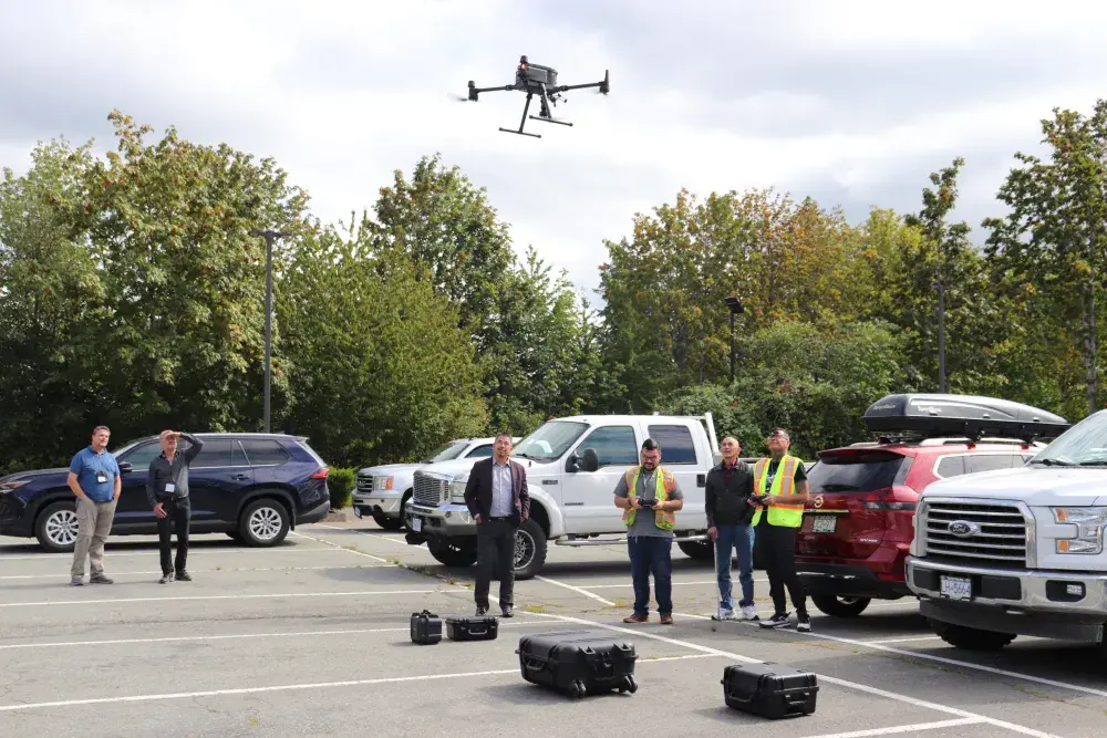
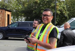
Professional drone pilot Kawliga Watts had just been laid off from a Port Alberni mill when he saw an opportunity pop up to fly drones for Tseshaht First Nation-owned Maktlee Drone Services.
“I was already a recreational drone operator, so I was really happy to be part of this new venture and learn all this new technology,” said Watts at the first annual Indigenous Forestry Conference in Port Alberni in September.
Watts enrolled with Coastal Drone out of Victoria for ground school before taking his Remotely Piloted Aircraft Systems (RPAS) Certificate with Transport Canada. In Canada, anyone operating a drone with a maximum takeoff weight of up to 25 kg is required to pass the online drone pilot exam.
“You have to learn a lot of the laws,” said Watts. “For instance, in Canada drones are only allowed to fly up to 122-metres in height. If you fly beyond that you have to have SFOC (Special Flight Operations Certificate).”
Watts loves his new career as a drone operator with Maktlee Drone Services, noting that anyone can be trained and he likes the fact that he gets to use his mind more than he did as a labour worker.
Maktlee, which means “higher than others” in Nuu-chah-nulth language, serves Vancouver Island with drone services for forestry, fishery, agricultural and land management sectors.
Ben Durkan is a Tseshaht forester and manager at Maktlee Drone Services. He hopes more Nuu-chah-nulth members will consider a career in drone technology.
“It’s a great opportunity for Tseshaht members and young people to get into forestry and start working with all the different professionals, like geoscientists and biologists,” said Durkan during the Sept. 11 panel discussion on technology at the Indigenous Forestry Conference.
“The drone itself isn’t new, but we are finding new things to do with it on a daily basis. Just recently, we had a discussion on firefighting; what we can do, and how we can help,” said Durkan.
He went on to explain that drones are currently used on the backend of fires to detect hot spots once the fire is out, but he thinks there could be an opportunity to use heat sensing drones to find fires before they get out.
Maktlee Drones is also working with the City of Port Alberni to map their landfill and examine the traffic flow of the marina.
“It’s not just consultation and a check box, it’s getting involved and being part of the decision that are being made in their territory. That’s been a great thing that’s followed using these drones,” said Durkan.
Another area Maktlee wants to explore is tree planting. Durkan says drones can help with that sort of labour-intensive activity.
“It could be a lot safer. They do have drones that are doing tree planting. They drop these pellets with seed in them, that works great in fire areas with no debris on the ground, but in our forest there’s lots of branches, logs, debris and those pellets don’t quite make it all the way down to the soil. That’s the challenge in our area,” he said.
When it comes to flying drones over and around wildlife, Watts said most of the time they hover well above, so the impact on animal life “would be minimal.”
“However, there would be birds… sometimes birds just fly right by,” he adds.
Bears can exhibit a stress response when a drone flies overhead, according to a research team from the University of Minnesota Institute on the Environment.
In a study from 2015, the Minnesota researchers fitted free-roaming American black bears with satellite GPS collars and cardiac bio-loggers to assess effects of unmanned aerial vehicles (UAVs) flights on movements and heart rate responses of the bears.
“All bears, including an individual denned for hibernation, responded to UAV flights with elevated heart rates, rising as much as 123 beats per minute above the pre-flight baseline,” reads to the report published in Current Biology.
“It is important to consider the additional stress on wildlife from UAV flights when developing regulations and best scientific practices,” the researchers said, noting that there is a widespread increase in drone use by researchers and conservationists to monitor threats to biodiversity, collect frequent aerial imagery of remote terrain, estimate population abundance and deter poaching.
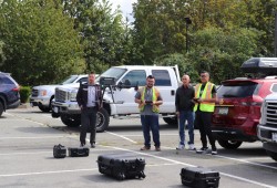
It's another consideration to keep in mind, as the aerial vehicles present a growing array of opportunities to better track and understand what’s happening in forested areas that would otherwise be challenging to access. Fellow Maktlee drone pilot Alex Gus couldn’t hide his smile as he operated a DJI Mavic 3 Thermal drone for a demo during the forestry conference. The smaller commercial drone used for mapping, firefighting, search and rescue, inspection and night operations buzzed around the parking lot, sounding a lot like a swarm of angry wasps.
“I’m really thankful to be a part of it all,” said Gus. “We’ve had such tremendous support. I think there is a huge future in this business.”
Watts re-iterates the joy of working with drones.
“It’s awesome technology that we are dealing with,” he said.
Anyone interested in working with Tseshaht’s drone team is encouraged to visit: maktleedrone.ca.


