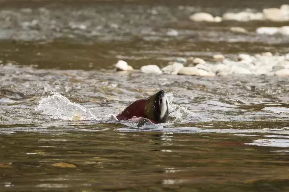
In effort to maintain a diversity of salmon populations within B.C., the Pacific Salmon Foundation (PSF) has launched its newest instalment of the Pacific Salmon Explorer.
The online data visualization tool provides new insight into the current health of 150 unique groups of salmon populations. Known as conservation units, these groups are characterized by sharing similar habitat, occupying the same area, sharing genetic similarities and similar life histories.
By expanding the database into southern B.C., the Pacific Salmon Explorer now contains data and assessments for 80 per cent of all conservation units within the province.
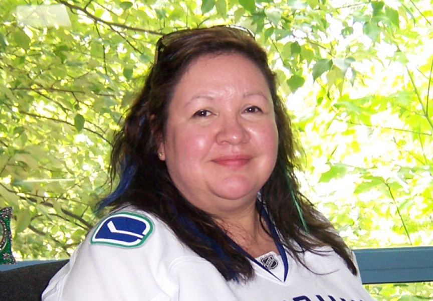
“It gives us some insight into the current health of salmon,” said Katrina Connors, Pacific Salmon Foundation director. “This is really important because you can’t develop conservation or management strategies to protect at risk populations if you don’t know what their current status and trends are.”
Including populations that may not be central to the fisheries, Connors said that the data tool looks at supporting a diversity of salmon populations, “because together, having this diversity is what makes salmon as a species more resilient.”
Leaning on involvement from First Nations organizations, such as the Nuu-chah-nulth Tribal Council, Connors said they are better able to inform the impact of future threats.
“Local First Nations know a lot about these local salmon populations and they’re able to validate the data that exists,” she said.
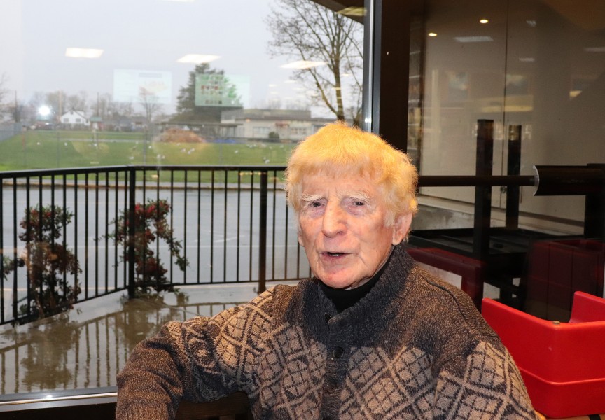
Eric Angel, Uu-a-thluk Fisheries Program Manager, said that he initially met the Pacific Salmon Explorer with some scepticism, worrying that the data might be misleading.
While Angel said that he admires PSF for taking the lead and demonstrating that you can do “good, interactive salmon data and mapping online,” he continues to have some reservations.
There are over 100 streams, creeks and rivers that support, or supported chinook salmon populations on the west coast of Vancouver Island. Instead of accounting for all of those distinct streams, the Department of Fisheries and Oceans Canada’s (DFO) management approach under the Wild Salmon Policy is to aggregate a bunch of individual salmon populations into much larger conservation units.
“From a western science conservation and resource management perspective that might be fine, but this idea of exchangeability of habitat and species is extremely problematic for Nuu-chah-nulth and Indigenous peoples more generally,” Angel wrote in an email. “Individual salmon creeks are the responsibility of specific individuals and Ha’wilth – they are not interchangeable.”
Uu-a-thluk Fisheries recently submitted a grant proposal to DFO’s new funding initiative, the Indigenous Habitat Participation Program. Angel is hoping that the funding will allow them to build something similar to the Pacific Salmon Explorer for Clayoquot Sound, but “at a much finer scale.”
Careful to note that there is a need for middle-scale projects, like the Pacific Salmon Explorer, he worries that the “aggregation of data just totally obscures individual variations that are really important to talk about.”
While their approaches are different, Connors and Angel both argue for a more centralized system for salmon analysis.
“A lot of the nations are leading the way in terms of doing these geographical surveys, but it hasn’t really been centralized across broad areas, like Vancouver Island,” Connors said. “We really need to collectively invest in a centralized platform for storing and making data accessible in order to allow tools like this to exist.”
Angel echoes her sentiment, saying that there’s a “crying need” for a common platform, but that it comes with challenges.
“There’s a huge amount of abuse of data and science in fisheries management because people want to be able to use the numbers to make an argument that’s in their favour,” he said.
Continuing in their fight to save the salmon, Connors hopes to expand the tool so that it includes Haida Gwaii, and trans-boundary watersheds with southeast Alaska.
“Having this information available is really critical to being able to actually get to the crux of what the issue is,” said Connors. “We’re getting there.”
