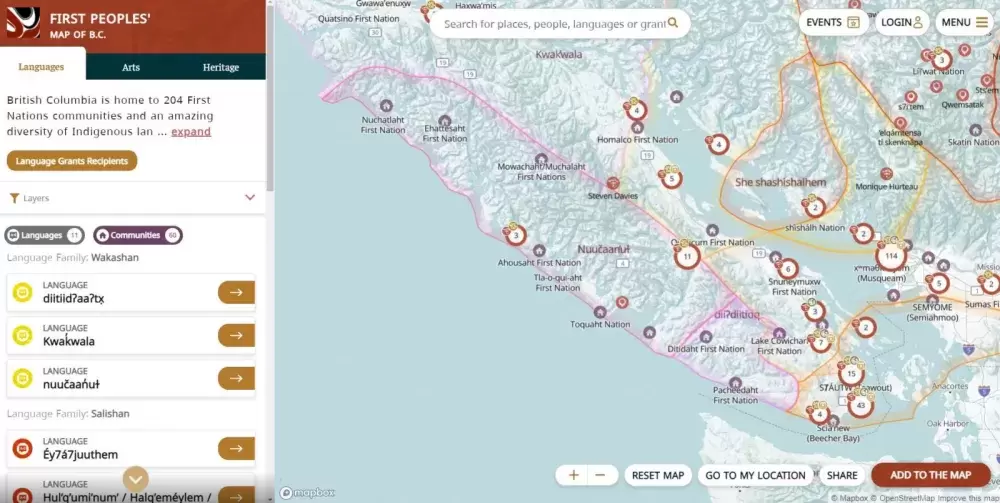
To coincide with National Indigenous History Month, the First Peoples’ Cultural Council (FPCC) has launched a new online map that intersects Indigenous languages, culture and art in British Columbia.
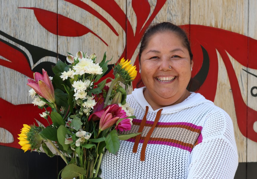
The First Peoples’ Map is the first of its kind in Canada and was developed in response to a growing demand from First Nations people seeking a centralized platform to share information about their diverse communities, said Cathi Charles Wherry, FPCC special advisor.
“Language champions, artists and cultural heritage workers let us know that this is something they wanted,” she said. “They wanted a platform where they could celebrate, share and showcase the good work that's been done in their communities.”
All of the information detailed in the map was contributed by Indigenous experts and reflects the reality that language, culture and art are not singular – they are all intertwined, Wherry added.
First Nations communities will be able to draw inspiration from each other by looking at the language programs other nations are offering. Artists can find each other, curators can locate collaborators, and those living away from their home territories can connect with events that are happening in their communities, Wherry explained.
As non-Indigenous people become increasingly interested in learning about Indigenous culture, Wherry said the map is one tool they can use to educate themselves.
“Our hope is that this map will help non-Indigenous people to better appreciate Indigenous perspectives as one small step towards reconciliation,” said Karen Aird, acting CEO of the First Peoples’ Cultural Council, in a release. “By combining all of this rich information together in one place, the map reflects an Indigenous perspective, by braiding important cultural elements together with the land.”
During extreme weather events like wildfires and flooding, there are obvious things that communities want to save and protect, Wherry said. But others, like the land where traditional plant medicines grow, might not be as evident to non-Indigenous emergency responders.
“There’s a lot of really valuable information on there for people visiting or going to work in [First Nations] communities,” she said.
The project was made possible by the $50-million that was granted to FPCC in 2018 to help language revitalization efforts in British Columbia. It replaces the First Peoples’ Language Map that was created by FCPP in 2008, as well as the First Peoples’ Arts Map built in 2012.
B.C. accounts for around 60 per cent of the First Nations languages in Canada. There are currently 34 Indigenous languages within the province. Of those, three per cent of the reported First Nations population are fluent.
“Investing in tools like the First Peoples’ Map is a modern way to connect people to the many Indigenous languages, artists and cultural heritage spaces in B.C. and continue the collaborative efforts to revitalize and celebrate them,” said Murray Rankin, minister of Indigenous Relations and Reconciliation, a release.
The map has three facets that can be explored by visually searching specific geographical locations, scanning the sidebar, or by filtering content using specific keywords.
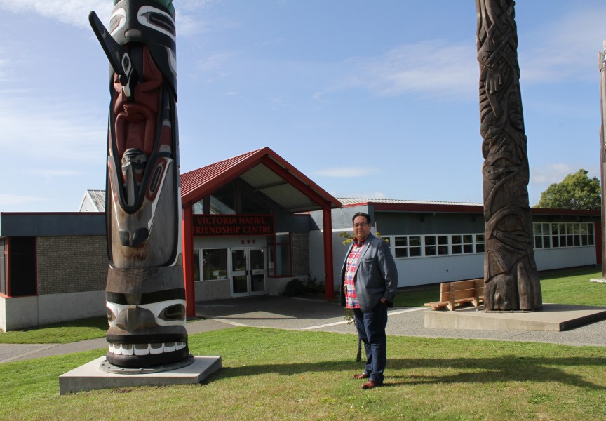
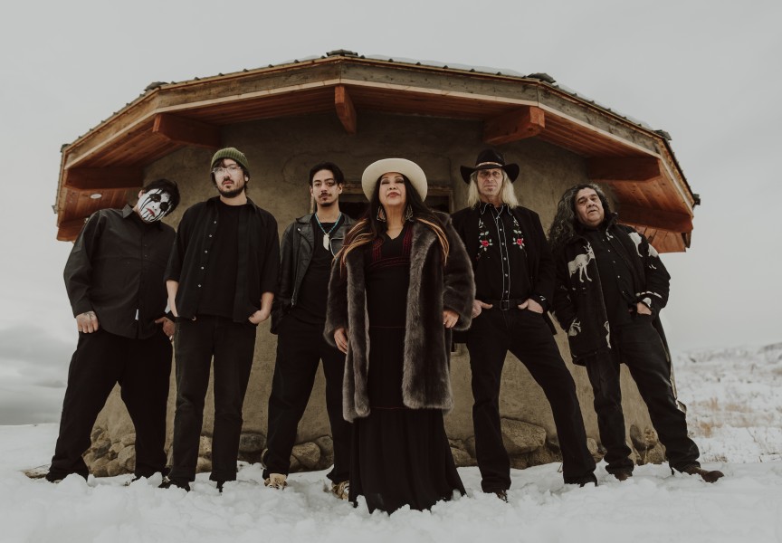
Its language layer displays all 204 First Nations communities and language regions in B.C., where users can hear pronunciations of language names, places and greetings. Viewers can use the arts layer to discover Indigenous artists and public art installations. And audiences can engage with local points of interest, such as cultural centres, through the heritage layer.
“FPCC initiatives, such as the First Peoples’ Map, are vital to the integrity of British Columbia’s social and cultural fabric as this work deepens public knowledge and understanding of the many nations and cultures that have existed in the province since time immemorial, as well as the complexities of human relationships to present day,” said Terry Teegee, British Columbia Assembly of First Nations regional chief, in a release.
As content is continually added, the interactive map will be evolving.
“The map is living,” said Wherry. “It’s never really finished.”
The map can be accessed at https://maps.fpcc.ca/languages.
