How is a nation’s territory defined? How are borders determined, with consideration to who rightfully owns the land, and has used it historically?
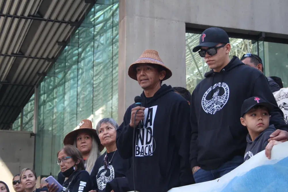
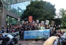
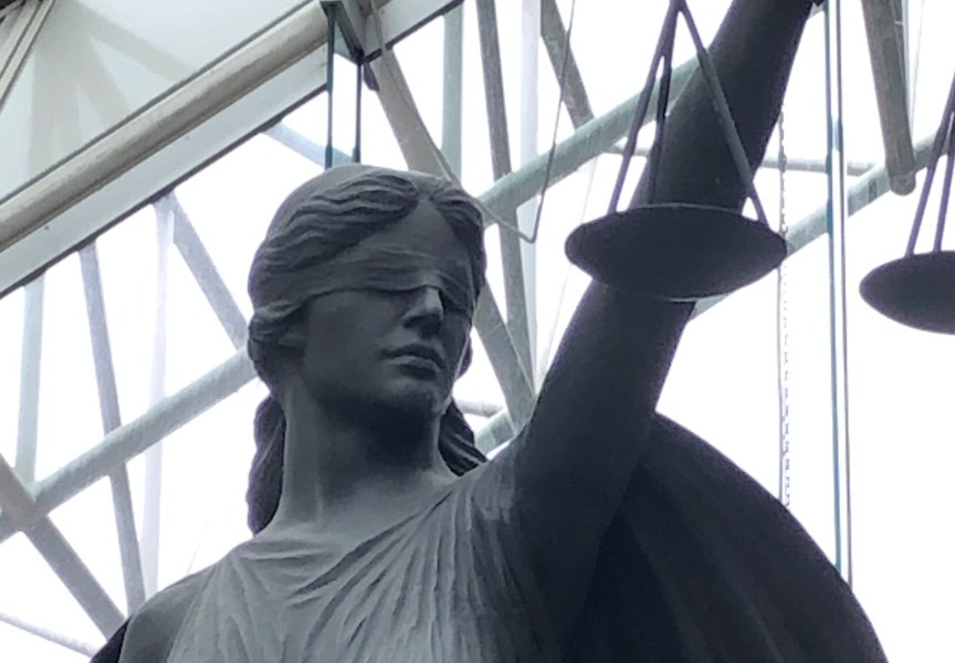
These are central questions that were explored March 11-15, as the Nuchatlaht case continued in a Vancouver courtroom. Serving as a five-day extension to the First Nation’s trial over Aboriginal title for the northern part of Nootka Island, Justice Elliot Myers heard arguments from the legal teams of the Nuchatlaht and the provincial government to determine what exactly should be recognized under Canadian law as the First Nation’s land.
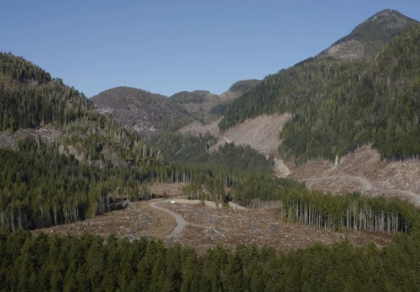
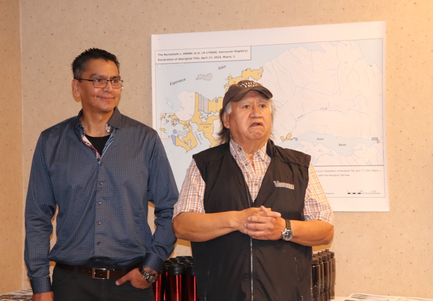
Over seven years since it was first filed to the B.C. Supreme Court, the Nuchatlaht seek Aboriginal title over approximately 20,000 hectares on northern Nootka Island. Located west of Vancouver Island, it’s an area that the First Nation’s ancestors occupied for countless generations, recognized as Nuchatlaht Ḥahahuułi, or traditional territory. But in 1846 the British Crown claimed sovereignty over the land, and for most of the last century the territory has been subject to logging and forestry tenures, which are currently held by Western Forest Products.
Subsisting off the entire watershed
After a trial in 2022, Meyers released a judgement on May 10, 2023, determining that a Nuchatlaht confederacy existed in the area at the time of British Sovereignty, and that the small First Nation is the rightful owner of the claim area. But the judge concluded that this does not apply for all of the 20,000 hectares, citing that the only “direct evidence” of historical occupation is in the vicinity of village sites near the coast.
Using evidence already submitted to the court, the Nuchatlaht have been given the opportunity to prove title to sections of the claim area, which brought the legal teams back before Myers in a hearing scheduled March 11-15.
Leading the Nuchatlaht’s legal team, Jack Woodward began the proceedings by taking the court through a series of maps. Describing the Nuchatlaht’s ancestors as a “marine oriented culture” with a “sophisticated use of the forest”, Woodward identified multiple locations with evidence of a village site at the mouth of a river, where the tribe would rely on the entire watershed for subsistence. For this reason, Woodward argued that title should be recognized for the areas comprising entire watersheds.
“If they had a village site, they must have been using the land upstream to support their culture,” said Woodward, who stressed the territorial nature of Nuu-chah-nulth tribes at the time that British Sovereignty was declared. “They used these territories for the material basis of their economies.”
The legal team often drew upon the accounts of Philip Drucker, who extensively studied northern Nuu-chah-nulth tribes in the 1930s. Drucker wrote that these societies relied on the products of cedar trees throughout a person’s life.
“Products of red cedar bark and yellow cedar bark were used in almost all aspects of Nootkan life. One could almost describe the culture in terms of them,” he wrote. “From the time the newborn infant’s body was dried with wisps of shredded cedar bark, and he was laid in a cradle padded with the same material and his head was flattened by a roll of it, he used articles of these materials every day of his life, until he was finally rolled up in an old cedar-bark mat for burial.”
“Every detail of their culture was based on a product of the forest,” said Woodward. “They had access to a forest that they made regular use of.”
“How far did they go to get the wood? That’s the issue here,” commented Meyers during Woodward’s presentation to the court.
In the first hours of the province’s argument, lawyer Jeff Echols cited sections of Meyers’ judgement from last year, which determined that there wasn’t enough evidence presented to prove historical use of the whole area.
“There is no evidence of the territory of any local chief’s hahoulthle beyond the village sites,” wrote Meyers in his judgement.
The province also cited the writings of Drucker, drawing attention to a reluctance among northern Nuu-chah-nulth people to spend time far inland.
“To most of them, mountains were objects to be lined up in ranges to locate offshore points rather than localities to be traversed and known intimately,” wrote Drucker. “It is consistent that the woods and the mountains were thought to be populated by vast numbers of dangerous and horrendous supernatural beings, where the sea contained fewer and less malignant spirits.”
A governmental structure to protect resources
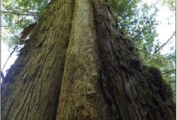
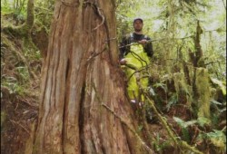
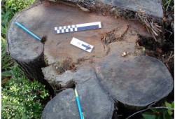
A major part of the Nuchatlaht’s evidence are the trees that were partially harvested by the nation’s ancestors to support their lifestyle. Archaeologist Jacob Earnshaw identified 8,386 of these culturally modified trees in the claim area, with an average distance of 845 metres from the shore.
Most of these CMTs had evidence of bark being stripped off for textiles and rope, including one location in the Brodick Creek watershed where 2,358 samples were identified by the archaeologist. Labelled DkSr-53, this is the third largest concentration of CMTs of any site in Nuu-chah-nulth territory, while the second greatest concentration is elsewhere in the Nuchatlaht’s claim area.
But in his judgement from last year Meyers wasn’t convinced that this was enough to meet the legal test of Aboriginal title for the whole claim area.
“With the exception of DkSr-53, the CMT sites were in or near coastal areas, the average being 845 metres from the coast,” wrote Meyers, who also included observations from the province’s cross examination of Earnshaw. “With respect to DkSr-53 (the only site that can be considered to be inland), Mr. Earnshaw failed to consider a filed report done by Baseline Archaeological Services Ltd. which indicated only five of the 65 dates samples pre-dated 1846.”
During his recent presentation to the court Woodward noted that only a small portion of the trees in this site provided accurate dates, as many were too rotten to give an accurate age.
“It’s very expensive to count the rings on every stump,” said Woodward, adding that if it was necessary, the Nuchatlaht could hire an archaeologist to count the rings on every tree. “And that would answer your question justice.”
Ironically, traditional Nuu-chah-nulth harvesting practices intended to minimize disruption in the forest, leaving little visible evidence of usage hundreds of years later. During recent court proceedings it was estimated that a tribe on Nootka Island might have torn off hundreds of thousands of bark strips in a year from the area’s forest, totaling millions over a cedar tree’s 500-year lifespan. To sustain resources, practices had to be in place to disturb as little as possible.
“You’d have to have a governmental structure that protects those old trees, generation after generation,” said Woodward.
The Labrador boundary case
As a precedent, the Nuchatlaht have stressed the importance of the Tsilhqot’in case, in which that First Nation was granted Aboriginal title over a large section in central British Columbia. Despite sustaining a semi-nomadic lifestyle across a vast 2,000 square-kilometre range, in 2014 the Supreme Court of Canada recognized the Tsilhqot’in as the rightful title holders, setting an exclusive and continued occupation since British sovereignty as the legal test. The Nuchatlaht currently seek title over land one 10th the size of what the Tsilhqot’in have.
Woodward worked on the Tsilhqot’in case. While both First Nations are relatively small, he noted that the Nuchatlaht have more evidence of occupation, with signs of habitation near coastal village sites, compared to the nomadic Tsilhqot’in’s use of a comparatively “barren” part of B.C.
In court Echols commented that the evidence for Aboriginal title in the Nuchatlaht case “pales in comparison” to Tsilhqot’in, which used hundreds of hours of oral accounts. He stressed that for title to be granted there must be proof of using the entire land.
“In Tsilhqot’in that was met, in this case it was not,” said Echols.
But during the recent court proceedings examples were cited from other parts of the world where territories and countries have been legally recognized despite human usage being limited to the coast. In Greenland, the world’s largest island that’s not a continent, just about all of the 56,800 inhabitants reside by the coastal edges, as the interior is covered by a glacial ice sheet. And Iceland’s coastal region is spotted with settlements where the country’s 403,000 people reside, while much of the interior is an uninhabitable volcanic plateau.
“No Icelander ever goes to the centre of Iceland, yet they own all of Iceland,” said Woodward.
Another example was cited from the other side of what is now Canada, in a case that was decided nearly a century ago. In the early 1900s Quebec and Newfoundland, which was not yet part of Canada, disputed the boundaries of Labrador. The case went to the Judiciary Committee of the Privy Council in London, which was Canada’s highest appeal court at the time.
Back then Labrador was inhabited by fishing communities that relied on the coast, leading Canada to argue on Quebec’s behalf that only the section one mile in from the shore should declared as Labrador, the rest going to Quebec. Newfoundland argued for a northern line halfway inland at the height of land, which would include the watersheds that fishermen relied on for their subsistence. In 1927 this is what the Privy Council ruled, creating the vast territory of Labrador as it remains today.
“They came down on the watershed. That’s why Labrador is so big,” said Woodward.
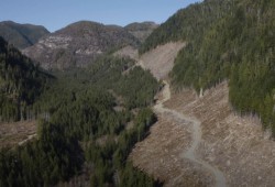
Meanwhile Nootka Island sits silent, the mountain range’s green marked by a patchwork of clearcuts that have ceased since the Aboriginal title case began. As reconciliation with First Nations hangs in the balance, the territory awaits Myers’ decision on how far the Nuchatlaht’s title claim should extend.

