At just 66 per cent of normal, the provincial snowpack for May 1 remains extremely low, but it is still too soon to determine what this year’s fire season will look like.
According to the most recent snow survey and water supply bulletin from the River Forecast Centre (RFC), Vancouver Island’s snowpack levels are currently sitting at 49 per cent of normal, which is unchanged from last month. For this time last year, the provincial snowpack was at 91 per cent and Vancouver Island was at 98 per cent.
Annual snow accumulation in B.C. typically reaches maximum levels in mid-April, according to the RFC. The low snowpack and seasonal runoff forecasts combined with warm seasonal weather forecasts and lingering impacts from on-going drought are creating “significantly elevated drought hazards for this upcoming spring and summer.”
Rebecca Grogan, information assistant with the BC Wildfire Service, said determining the wildfire season depends a lot on the amount of spring rain the Island gets, especially in June.
She said the low snowpack could mean earlier lightning-caused fires, because alpine areas are snow-free earlier in the year with time to dry out and be susceptible to fires sparked by lightning strikes.
“What we can say is that the coast was the only region in the province that really benefited from rain before the freeze up last winter and unlike other parts of the province we do not have any holdover fires from the 2023 fire season in the Coastal Fire Centre,” Grogan said. “The precipitation we received in the last two months has helped reduce our spring fire risk.”
Grogan said there have been three fires since the beginning of the season (April 1) on Vancouver Island, all of which are now out.
In general, precipitation was below normal for most of the province in April, according to the RFC. The onset of the snowmelt season has been mixed across the province. In low-to-mid elevations, particularly in plateau terrain in the B.C. Interior, early melt of a shallow snowpack has occurred and many of these areas are now snow-free.
The 2F18 Brenda Mine automated snow weather station in B.C.’s interior melted to snow-free conditions sooner than ever recorded in 28 years.
During the first week of May, unsettled weather with light to moderate precipitation occurred across the province, according to the RFC.
Temperatures were close to seasonal across most of B.C., with some coastal areas experiencing periods of above normal temperatures. A significant change in weather pattern was forecast for May 9-12 with the development of a high-pressure ridge across B.C. This is said to bring a period of well above normal temperatures and lead to the first episode of rapid snowmelt at higher elevations this season.
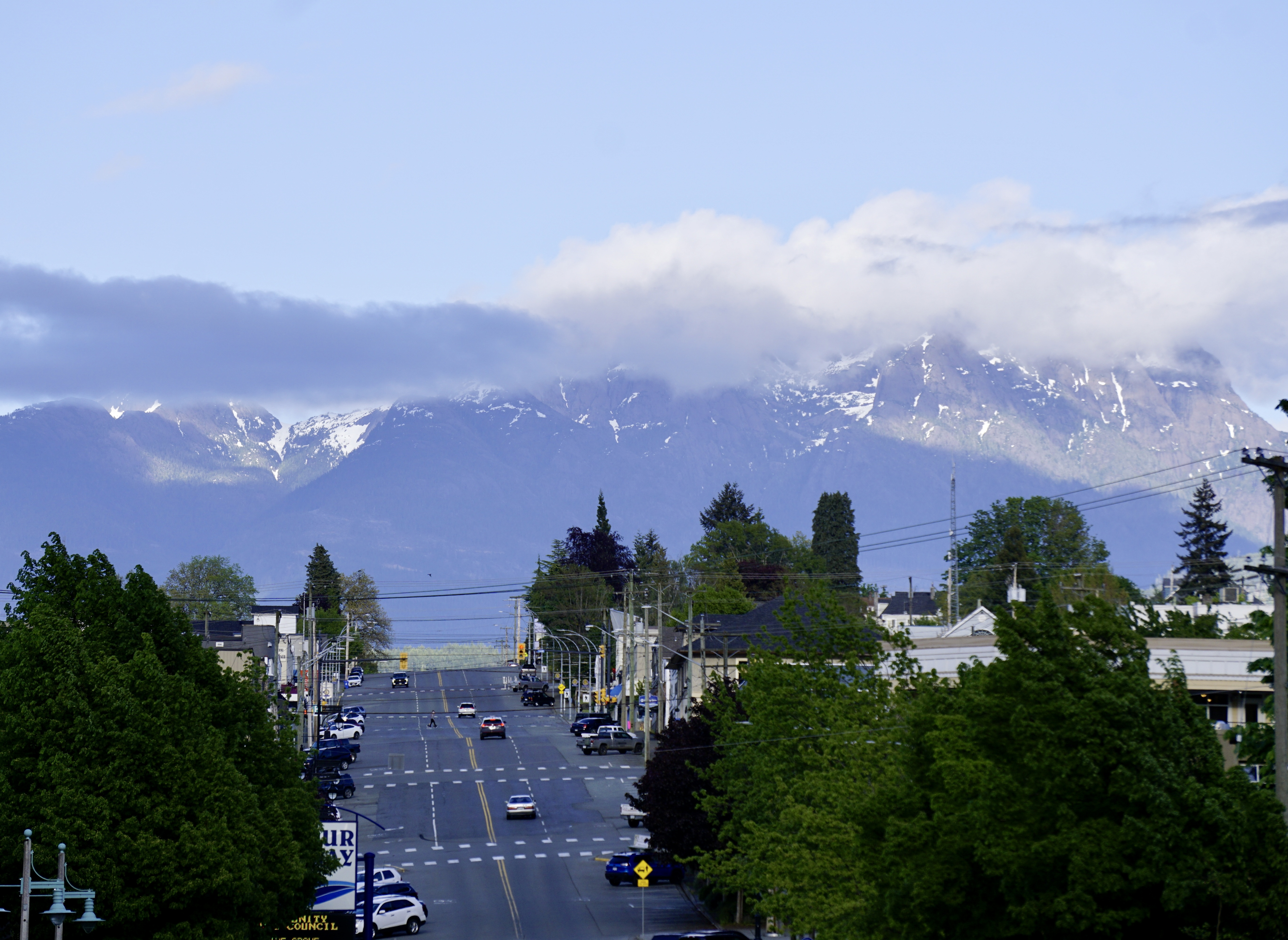
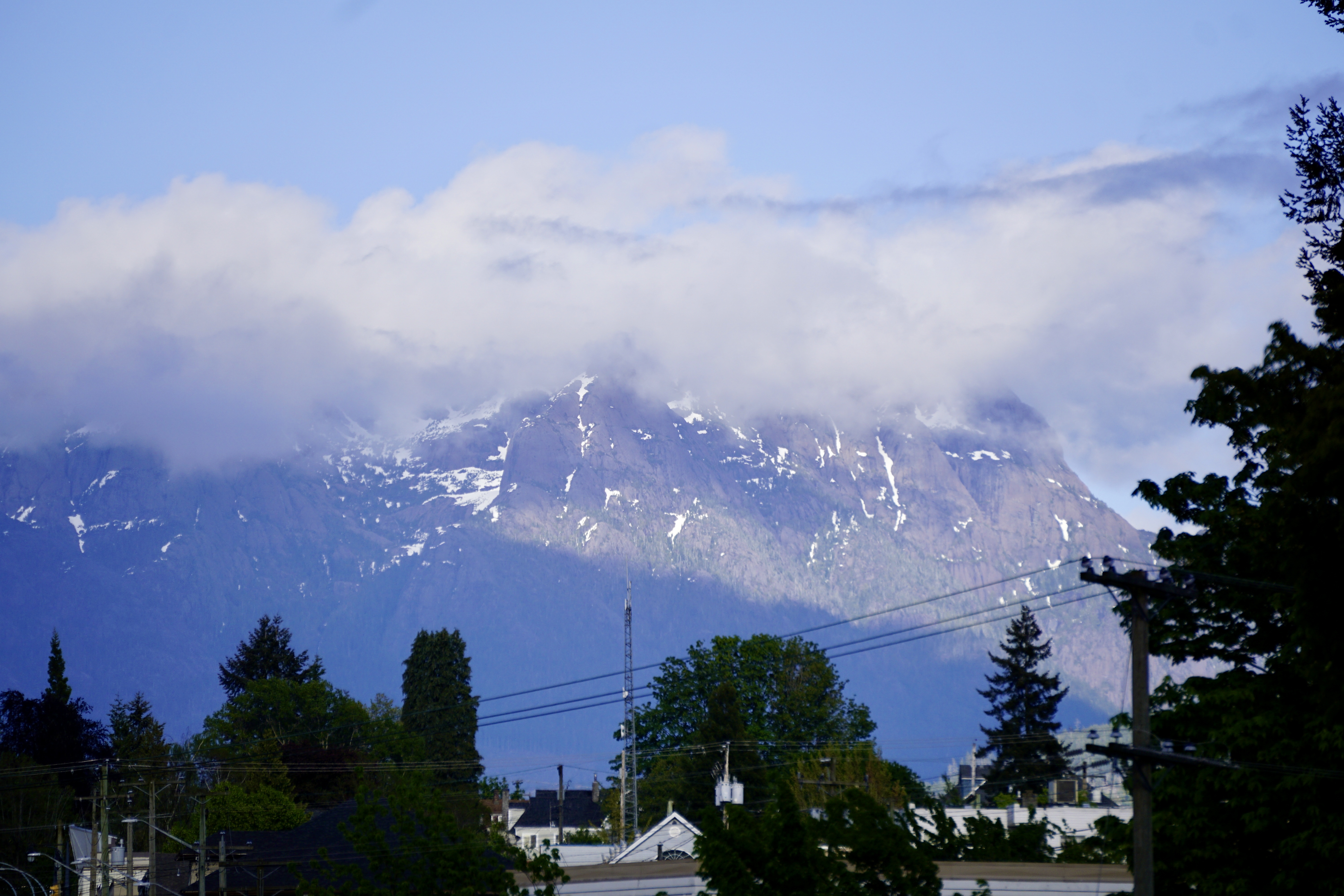
Overall, the provincial snowpack remains extremely low for May 1 and nearly all snow basins are at or below 80 per cent of normal, with Vancouver Island experiencing “extremely low snowpack.”
The causes of drought in B.C. are multifaceted, says the RFC.
“While snowpack can play an important role in areas, other factors such as the rate of snowmelt, spring and summer temperatures and short- and long-term precipitation trends may have equal or greater importance in governing the emergence of drought this summer.”


