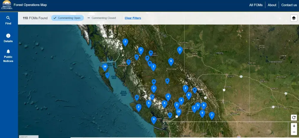
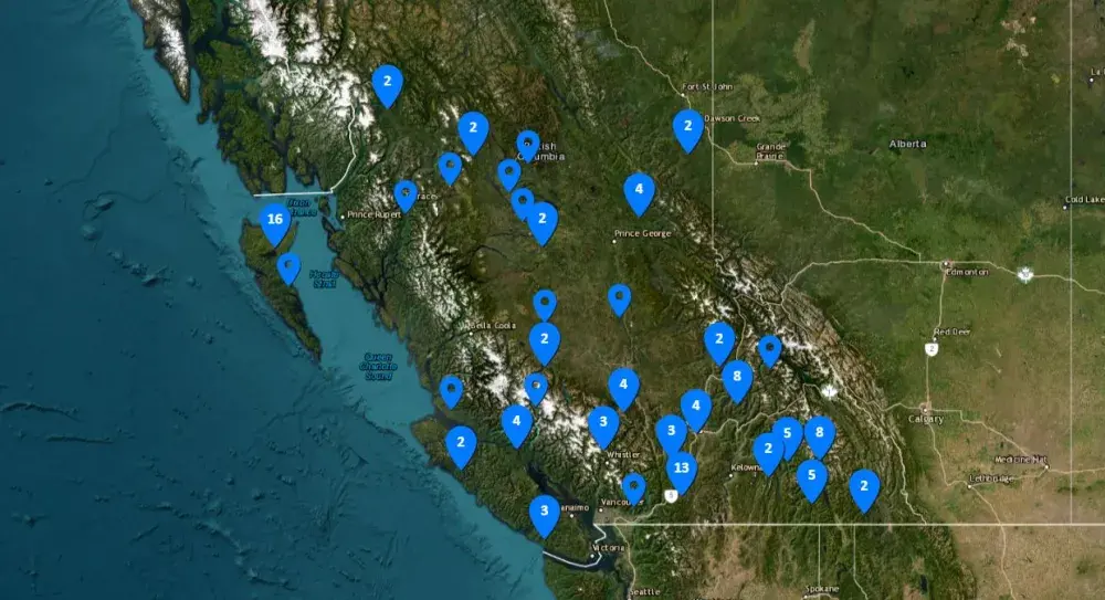
On May 7 the Ministry of Forests announced the launch of a new Forest Operations Map (FOM) portal where British Columbians can now access and comment on proposed operations, including cutblocks and roads, after amendments to Forest and Range Practices Act (FRPA).
“The portal will allow greater public input on forestry activities, as well as greater transparency about forestry proposals within the province and what those proposed activities would entail, including roads, mapped areas of harvest and estimated time of harvest,” a recent press release stated.
The portal will include details of the geographic area of the proposed cutblocks and roads, the approximate timing of forestry operations, identification of each Forest Stewardship Plan (FSP), which is a landscape-level map for forestry operations that must be approved by the government, as well as the identification of FSP holders.
According to the portal, Ditidaht Forestry Ltd., Huu-ay-aht First Nations, and Ehattesaht’s Aat’uu Forestry Limited Partnerships have proposed projects indicated on the map and are available for comment.
In an email to Ha-Shilth-Sa, the Ministry of Forests wrote that valid and constructive comments can have an impact on ground operations.
“It is in the best interest of FSP holders to build good relationships with their local stakeholders, and to improve their social license,” the Ministry of Forests wrote.
The portal was developed in response to the 2019 “what we heard survey” for FRPA, where “the public, First Nations, and stakeholders requested more transparency of forest operations, and more opportunity to provide input,” wrote the ministry.
Though the majority of forestry companies in British Columbia have committed to presenting their proposed operations in the FOM portal, the project is currently voluntary, the press release stated.
“There are already more than 1,000 users,” it continued.
While the portal only displays proposed cutblocks and roads, the ministry noted that the spatial data is also available to view in IMapBC, where individuals can access information on existing cutblocks, roads, other land tenures, national parks, among other developments.
“For everyone in B.C. wanting to see the forest industry thrive, while taking care of the forests that provide so much for us, continued transparency and accountability will help to keep this industry moving forward,” the Ministry of Forests wrote to Ha-Shilth-Sa. “That’s why we have created the Forest Operations Map (FOM) Online Portal, to give the public a one stop-shop for seeing many of the forestry projects are happening in the province.”

