
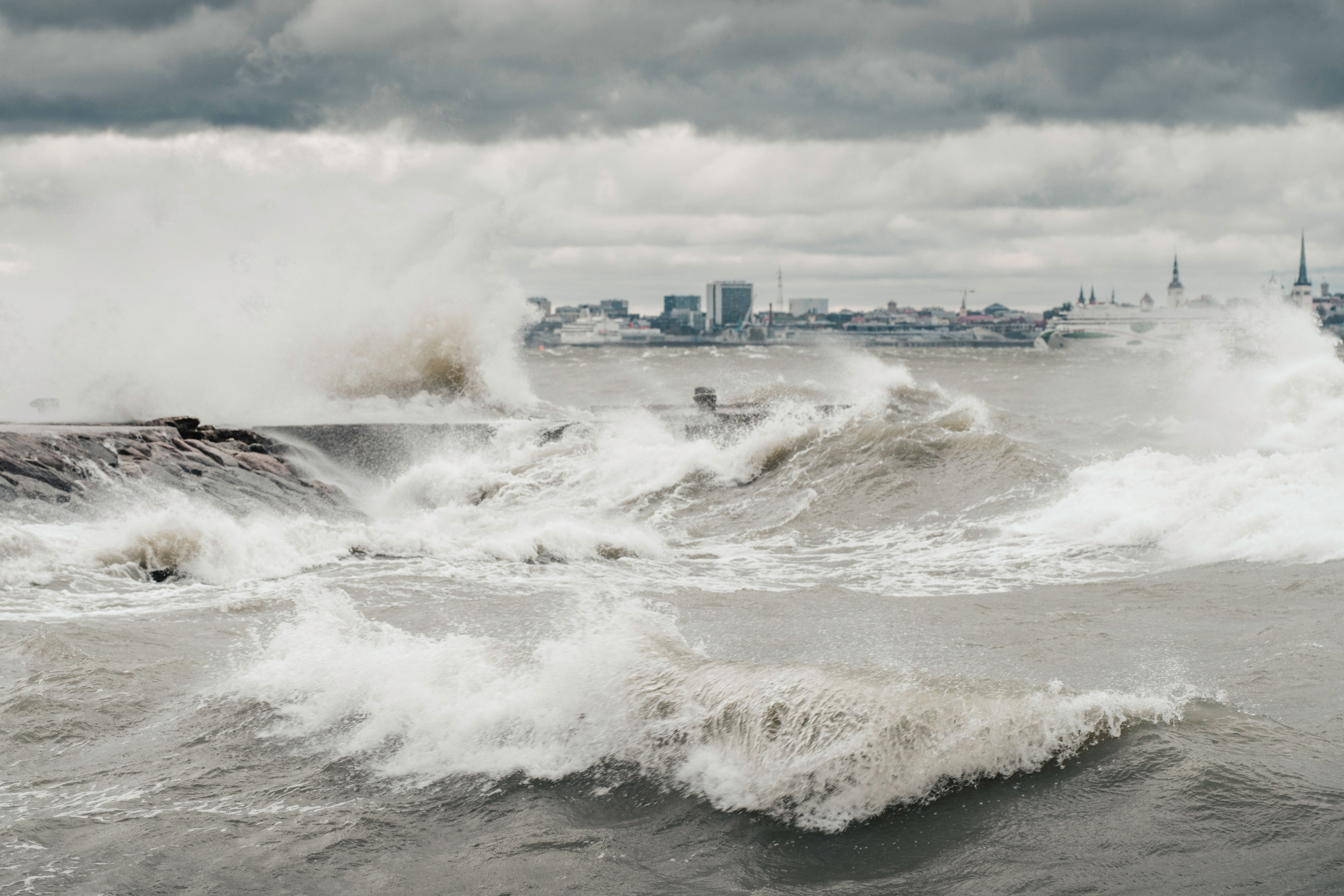
A giant underwater wave known as a “Kelvin Wave” is reaching the West Coast, raising the sea level and potentially causing flooding and erosion in coastal communities.
“The west coast of Vancouver Island would be on the front lines of the Kelvin wave as its most directly affected, but it will continue travelling up the coast as far as Alaska,” said Bill Merryfield, a research scientist with Environment and Climate Change Canada (ECCC) and adjunct professor in the School of Earth and Ocean Sciences at the University of Victoria.
A Kelvin wave isn’t like a tsunami. It’s a giant underwater wave that slowly moves along the shore, like water sloshing against a bathtub or a pool during an earthquake.
The wave isn’t visible to the naked eye and doesn’t cause an instantaneous change in sea level. It’s slow and shallow, extending 19 to 32 kilometres (12 to 20 miles), about 200 metres (656.16 feet) deep, and travelling at 10 kilometres (6 miles) per hour.
Kelvin waves are a natural phenomenon during El Niño, a weather pattern involving warm ocean waters. Normally, trade winds blow east to west at the Equator in the Pacific Ocean, pushing water from South America toward Asia.
However, when those trade winds weaken or reverse during El Niño, warm water moves toward South America, increasing the risk of flooding and higher water temperatures. Kelvin waves help El Niño spread its warming across the Pacific, and the stronger El Niño gets, the more it produces.
It’s hard to predict the exact amount of sea-level rise in Vancouver Island, as Kelvin waves lose power as they move farther from the source. However, the sea level rose by 30 centimetres in January and February on the west coast of Vancouver Island because a Kelvin wave hit the Canadian coast.
Currently, the Canadian Hydrographic Service (CHS), a sea-level monitoring data collector run by Fisheries and Oceans Canada (DFO), showed a slight rise in sea level in Port Alberni, Tofino and Vancouver in the past few days.
“It is possible we may see a stronger effect this year,” said Merryfield.
Kelvin waves alone aren’t a threat by themselves. Yet, they create background conditions for naturally occurring weather phenomena to intensify in winter.
“A 30-centimetre rise in sea level by itself doesn't have much impact. But if you add that on top of a king tide, which are unusually high tides, and storms at the same time, it can spell trouble for low-lying communities along the coast,” said Merryfield.
South California communities already experienced the result of this combination in early October. With sea levels already six to eight inches (15 to 20 centimetres) higher than normal because of the Kelvin wave, neighbourhoods flooded and homes near the ocean were partially submerged when tropical storm Racher hit the coast.
“Once you start getting into the interior straits of the Salish Sea and other regions of the eastern side of Vancouver Island, things get complicated,” said Merryfield. “If you look at past events, when sea level is higher in Tofino, it does tend to be high also in Vancouver and Victoria, so we might [see] some of the same effects in the more populated locations.”
Typically, El Niño is associated with five or six Kelvin waves; the last major El Niño registered five Kelvin waves in 2015-2016.
In 2026, the first one occurred in January and had little influence, as a Kelvin wave normally takes three months to reach the Canadian Coast.
The second was in March, when temporary sea-level elevations were recorded on the West Coast. The next three were consecutive in April, June, and July, a pattern that happens when a large El Niño starts reaching its maximum intensity.
“If you look in the past at really strong El Niño, this is probably the strongest of them that we’re having right now,” said Merryfield. “Along the coast of Vancouver Island and Tofino, during the winter months, the sea level was elevated by 30 centimetres on average.”
El Niño is still building and won’t peak until December, with a Kelvin wave slowly reaching Canada’s coast.
The National Oceanic and Atmospheric Administration (NOAA) researchers predict El Niño will remain strong through early 2027.
Kelvin waves also raise coastal water temperatures, disrupting marine ecosystems and causing mortality among species.
Dillon Amaya, an assistant professor of atmospheric sciences at North Carolina State University, stated they’ve reported tropical species outside their normal ecosystem, such as a whale shark spotted off the coast of San Diego.
Researchers also reported seabirds (brown pelicans, loons and grebes) dying of starvation off the California coast in recent months. Warm water pushed cold, nutrient-rich waters deeper, where krill, anchovies and sardines thrive. Without cold water making these smaller species accessible, seabirds lose access to their food source.
“With the influence of the Kelvin wave, it tends to shut off this upwelling that brings the nutrients to the surface. There’s less food on the table for the entire coastal ecosystem,” said Merryfield.
PreparedBC is advising people who live, work or spend time in coastal communities like Greater Victoria to review their emergency plans, prepare a grab-and-go bag, identify local evacuation routes and nearby areas of higher ground.
Residents are encouraged to tune in for local weather forecasts, tide conditions and official updates on potential flooding caused by the Kelvin wave effect.
The role of climate change in intensifying the El Niño effect is still debated in the scientific community. Yet, El Niño directly contributes to rising global temperatures.
El Niño tends to release heat stored in the ocean back into the atmosphere, causing global temperatures to rise, especially after the phenomenon passes its peak. Like a furnace, it’s warmest not when the furnace comes on, but before it shuts down.
“The record for the global temperature averaged over the whole year was set in 2024, right after the peak of a much lesser El Niño event. We expect it to break it, probably by a big margin next year, because of this very large El Niño combined with its tendency to warm up the planet as a whole,” said Merryfield.


